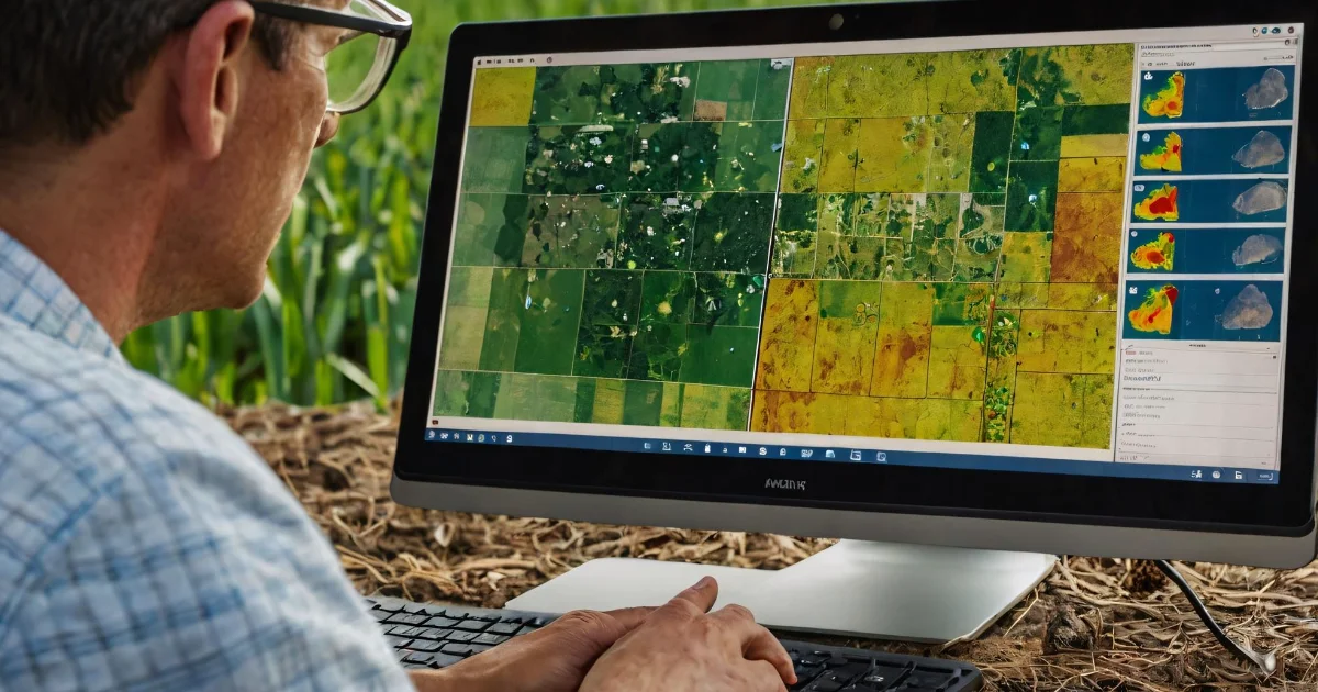
Analyst

Analysts will often perform the following tasks:
- Identifying the underlying principles, reasons, or facts of information by breaking down information or data into separate parts.
- Using relevant information and individual judgment to determine whether events or processes comply with laws, regulations, or standards.
- Assessing the value, importance, or quality of things or people.
- Compiling, coding, categorizing, calculating, tabulating, auditing, or verifying information or data.
Inspector

Inspectors should be great at:
- Estimating sizes, distances, and quantities; or determining time, costs, resources, or materials needed to perform a work activity.
- Observing, receiving, and otherwise obtaining information from all relevant sources.
- Identifying information by categorizing, estimating, recognizing differences or similarities, and detecting changes in circumstances or events.
- Inspecting equipment, structures, or materials to identify the cause of errors or other problems or defects.
Other work activities related to Geodetic surveyors
- Reviewing existing standards, controls, or equipment used, recommending changes or upgrades as needed.
- Providing training and interpretation in the using of methods or procedures for observing and checking controls for geodetic and plane coordinates.
- Planning or directing the working of geodetic surveying staff, providing technical consultation as needed.
- Distributing compiled geodetic data to government agencies or the general public.
- Reading current literature, talk with colleagues, continue education, or participating in professional organizations or conferences for keeping abreast of developments in technology, equipment, or systems.
- Verifying the mathematical correctness of newly collected survey data.
- Requesting additional survey data when field collection errors occur or engineering surveying specifications are not maintained.
- Preparing progress or technical reports.
- Maintaining databases of geodetic and related information, including coordinating, descriptive, or quality assurance data.


